Dedicated to the wonderful island of Madeira, its wines, its wonderful cuisine and its welcoming people.
Old maps of Madeira
Old maps of Madeira
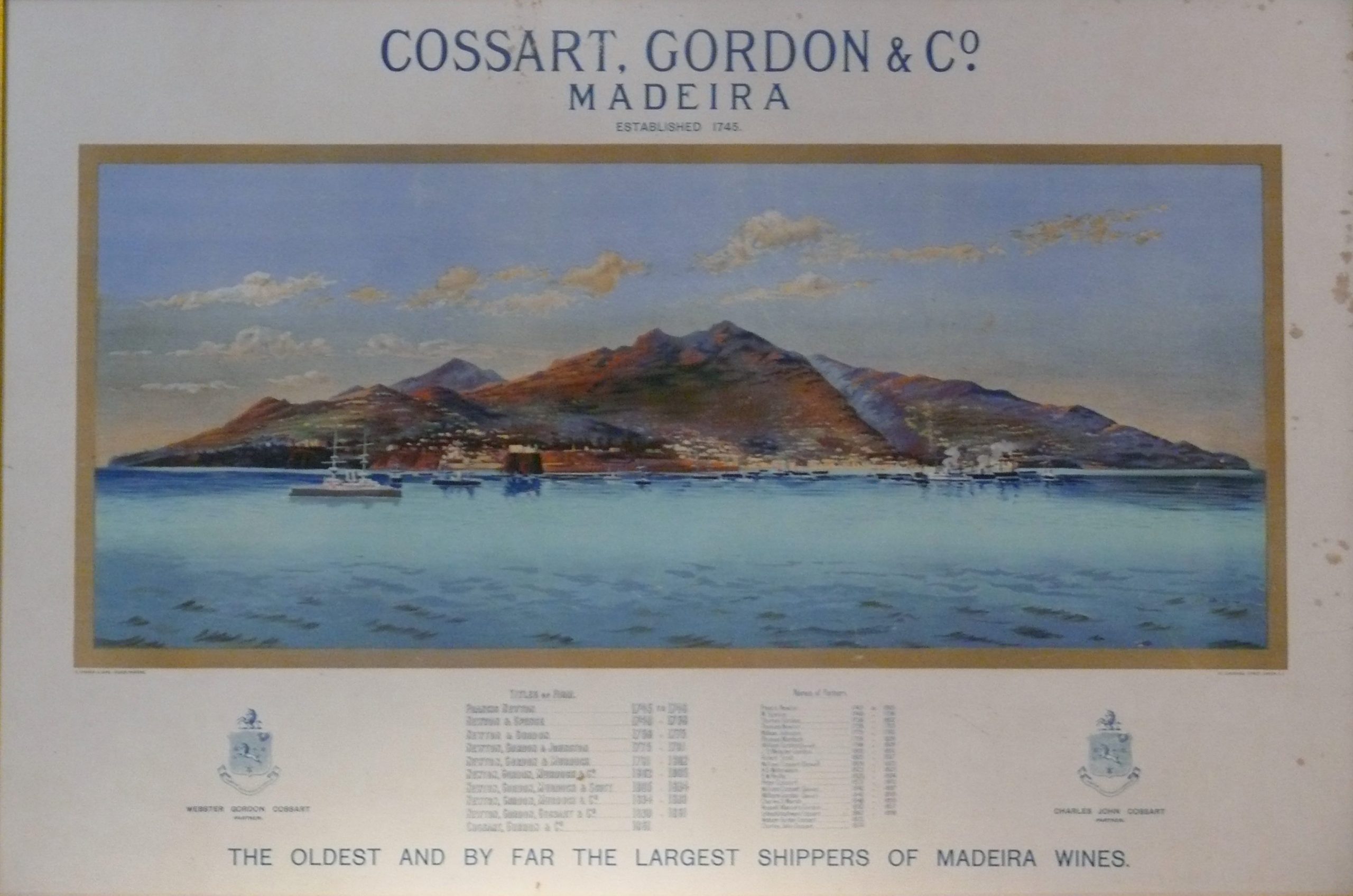
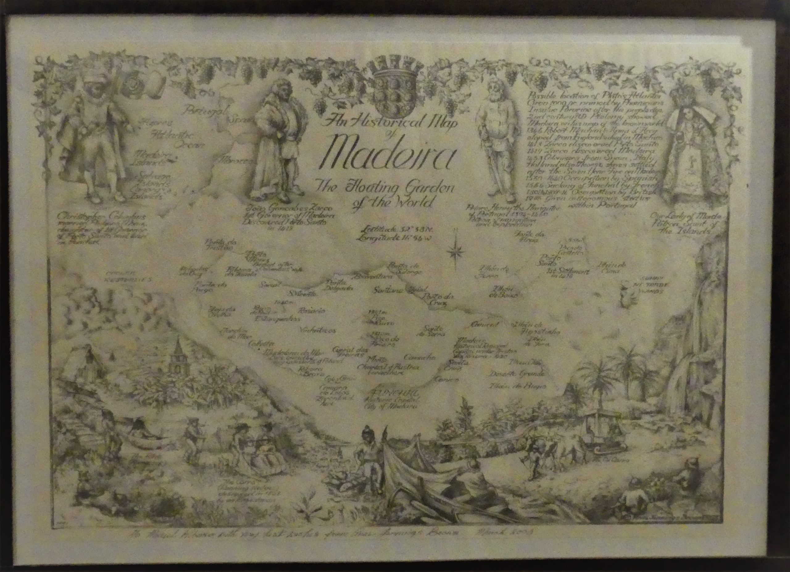
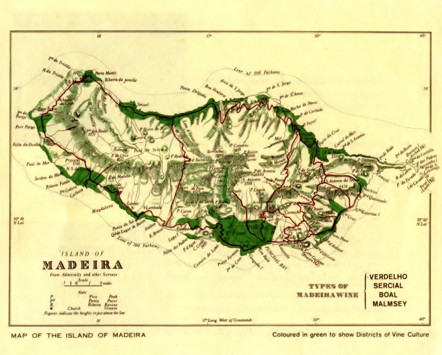
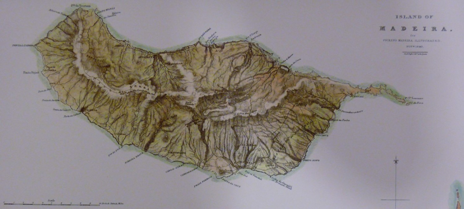
Old maps of Madeira, beginning with this wonderful picture!
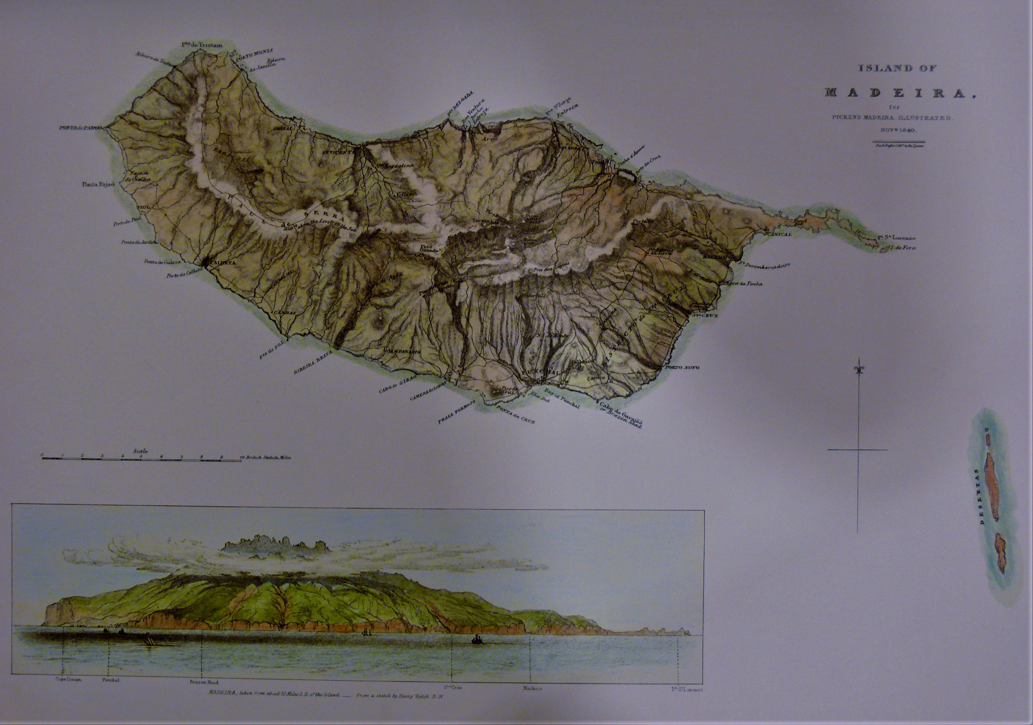
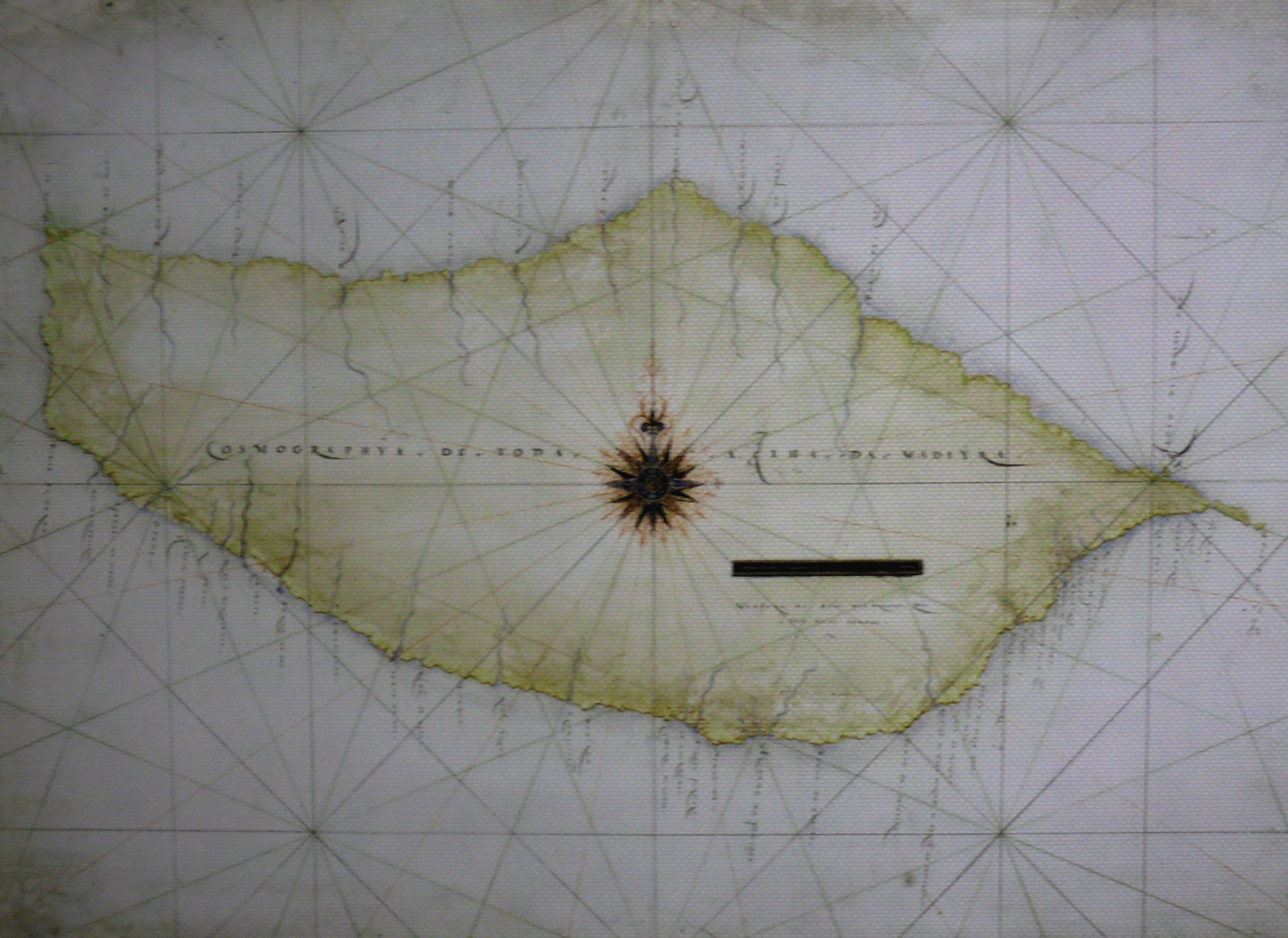
Just a wonderful representation of the island by Cossart and Gordon.An old Map of Madeira the floating garden (to be found hanging in the Ritz cafe in central Funchal).A Topographic drawing of Madeira that really does show the nature of the island and how hilly and mountainous it is. Sailors have long navigated to Madeira as its clouds can be seen for hundreds of miles. While no showing Porto Santo to the north, the three “Desertas” are shown to the east of Madeira. These are now nature reserves.An Early chart of Madeira giving a good outline to the island.Wine growing regions in Madeira, now somewhat out of date as there are fewer vineyards in and around the capital Funchal. There are some vestiges including the Blandy’s Quinta de Santa Luzia which is a working vineyard offering accommodation as well.Looking down on Madeira, sadly not a view from the aeroplane when coming into land, but flying into Madeira does offer a superb view of the island.